The Candidate Site Register
Ended on the 17 April 2024
Abercynon Ward
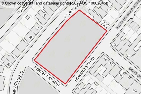
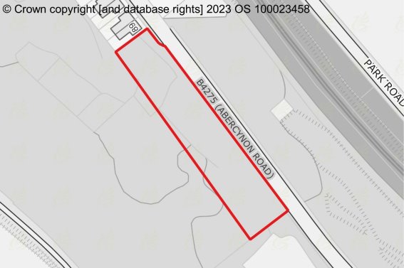
Site Number: 7
Site Name
Land at Edward Street, Abercynon
Ward
Abercynon
Site Size (Ha)
0.223
Proposed Use
Residential
Stage 1 Assessment Conclusion:
Remain within Settlement Boundary or include within an amended Settlement Boundary.
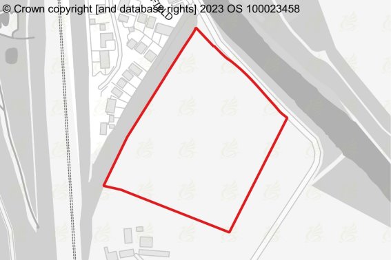
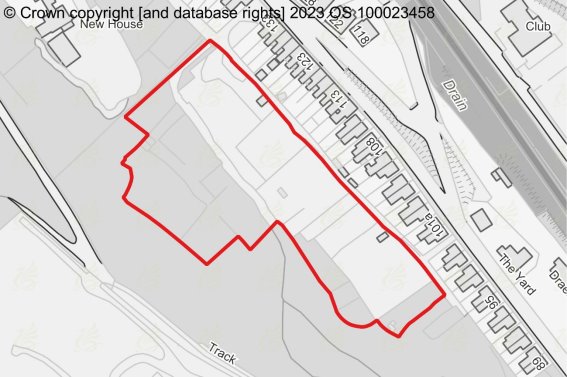
Site Number: 70
Site Name
Land at Park Newydd Farm
Ward
Abercynon
Site Size (Ha)
2.551
Proposed Use
Residential
Stage 1 Assessment Conclusion:
Failed stage 1 assessment: Remove the site from the assessment process.
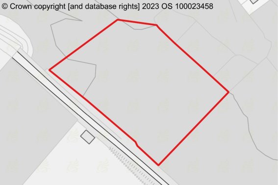
Site Number: 95
Site Name
Land to the West and South West of Cemetery Road - Site 1
Ward
Abercynon
Site Size (Ha)
0.334
Proposed Use
Residential
Stage 1 Assessment Conclusion:
Failed stage 1 assessment: Remove the site from the assessment process.
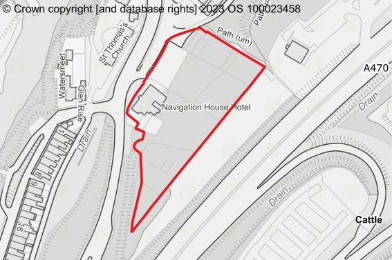
Site Number: 156
Site Name
Rear of Navigation House Hotel, Abercynon
Ward
Abercynon
Site Size (Ha)
0.786
Proposed Use
Residential
Stage 1 Assessment Conclusion:
Failed stage 1 assessment: Remove the site from the assessment process.
Site Number: 158
Site Name
Land to west and south west of Cemetery Road - Site 2
Ward
Abercynon
Site Size (Ha)
0.235
Proposed Use
Residential
Stage 1 Assessment Conclusion:
Failed stage 1 assessment: Remove the site from the assessment process.
Site Number: 159
Site Name
Land to the West and South West of Cemetery Rd, Site 3
Ward
Abercynon
Site Size (Ha)
1.044
Proposed Use
Residential
Stage 1 Assessment Conclusion:
Failed stage 1 assessment: Remove the site from the assessment process.
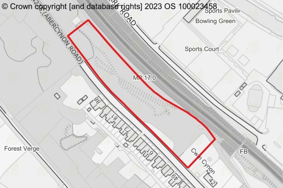
Site Number: 170
Site Name
Abercynon Road Mountain Ash
Ward
Abercynon
Site Size (Ha)
0.691
Proposed Use
Residential
Stage 1 Assessment Conclusion:
Failed stage 1 assessment: Remove the site from the assessment process.
For instructions on how to use the system and make comments, please see our
help guide.
back to top
back to top

